a subir el volcan santa clara (pico pinacate, ser specifica, y el gran volcan al norte de peñasco) siempre fue algo que necestaria hacer antes de me fui. y luego, ya sabes como va, cosas llegan, no se puede salir, luego por el calor, bla bla bla, y nunca lo haces. entonces, por mi cumpleaños este año, antes el calor comience, estuve decidida hacerlo, luego iván y yo fuimos a acampar en cono rojo una noche para subirlo temprano la mañana siguiente.
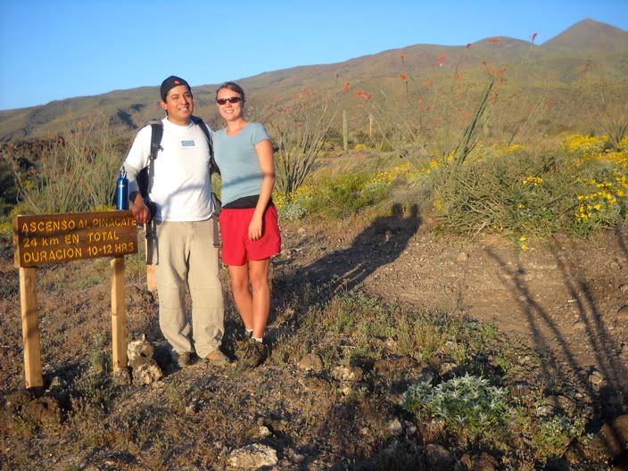
[trailhead]
the hike is 24 kilometers round trip, and the summit is 3957 ft. the trail goes all the way around the base of the volcano and then up the backside from where you camp, making a direct line of something around 5 km into 12 km one way. oh well. the truth is that the hike is stunningly beautiful, passing through the volcanic field, with excellent views, so you can't really complain too much. plus, after all the crazy rain we had this late winter, there were still a number of flowers along the way.
la caminata es 24 kilómetros ida y vuelta, y la cima es 1,207 metros. el sendero se va por todo el base del volcan y luego sube por atras de donde se acampa, entonces la linea directa es mas o menos 5 km hasta una camina de 12 km (la ida). ni modo. la verdad es que la caminata es despampanante, pasando por el campo volcánico, con vistas excelente, entonces no se puede quejar. ademas, después todo la lluvia loca teníamos este invierno, hubieron muchas flores a lo largo del camino.
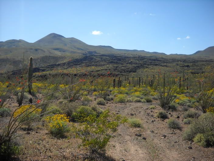
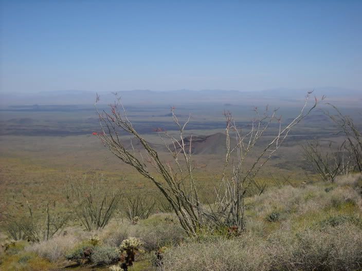
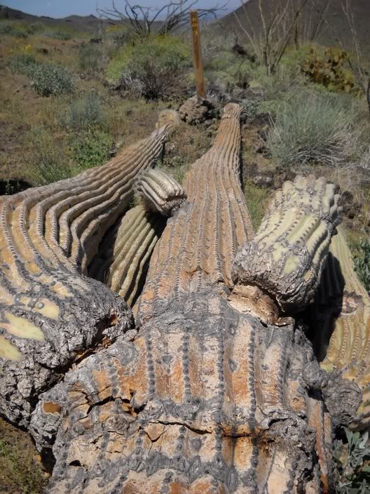
[i love this, the saguaro died at km 9 / me encanta, el saguaro morio al kilometro 9]
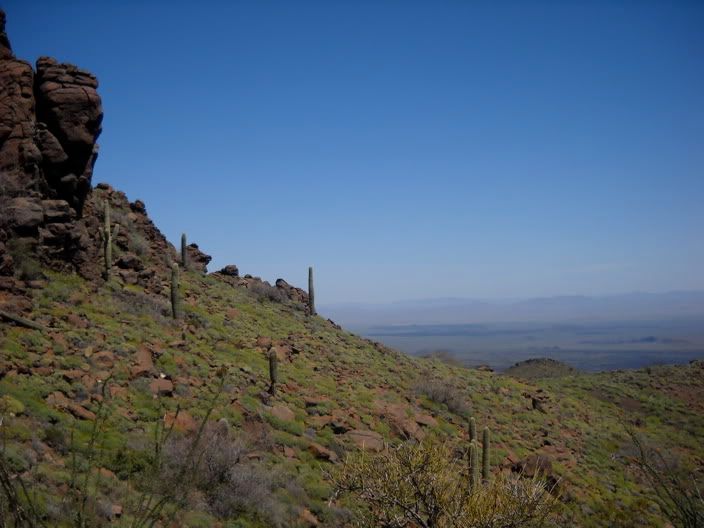
the hike is actually fairly easy until the final few kilos, and the last one is basically straight up to the peak.
la caminata, actualmente, es bastante facil hasta los kilos finales, y el ultimo es basicamente derechito hacia la cima.
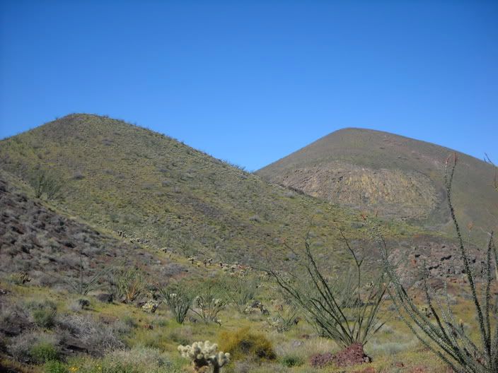
[carnegie on the right, pinacate on the left / cernegia mano derecha, pinacate izquierda]
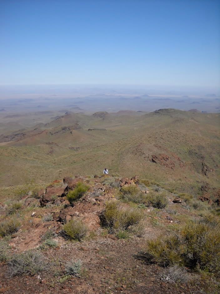
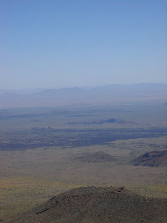
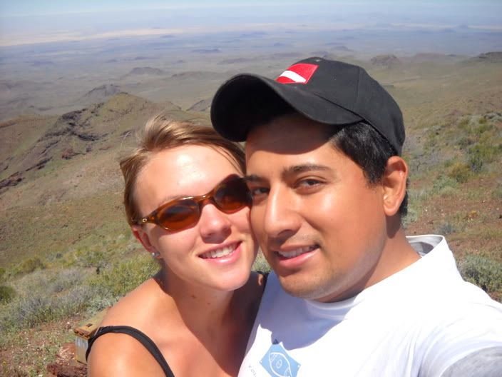
from the peak, you should be able to see over the gulf to baja (it's actually how father kino confirmed that baja was a peninsula, not an island!), but the day was hazy, so no go on that. but it was still a great view of the reserve and all the different craters and cinder cones!
del pico deberías de poder a ver por el golfo hasta la baja (actualmente, es como padre kino confirmaba que baja era una peninsula y no una isla!), pero el dia estuvo neblinoso, entonces no lo podríamos ver. aun, ¡estuvo una vista magnifica de la reserva y todos los cráteres y conos de ceniza!
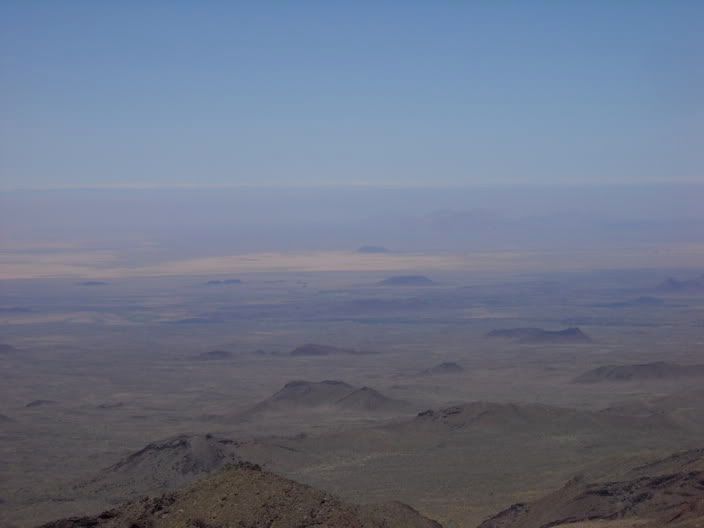
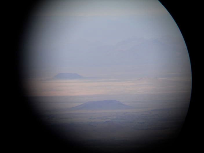
[macdougal crater through my binoculars / crater macdougal visto por mis binoculares]
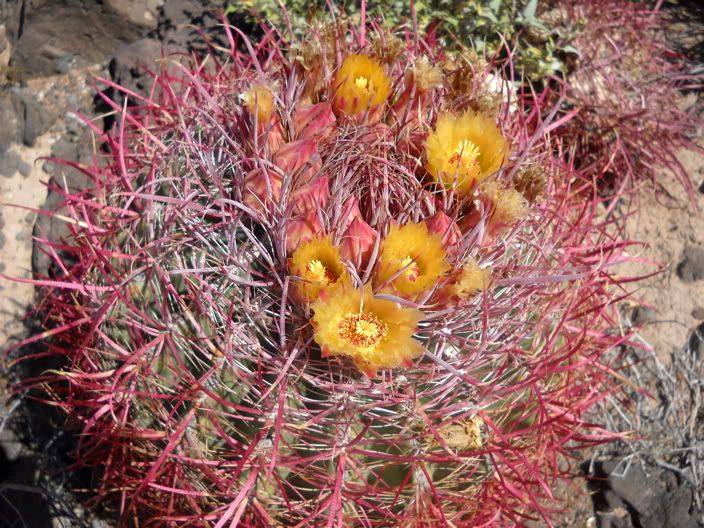
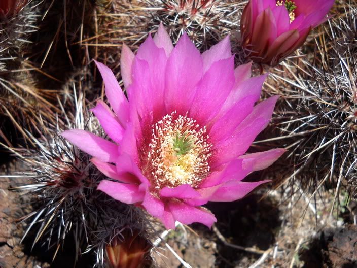
slash did i mention how beautiful cactus flowers are? very beautiful! and the desert was just full of them
barra, mencione que bonitas son los flores de los cactus? muuuuy bonitas! y el desierto estaba lleno de ellas.
it was a great day, and it felt wonderful to be hiking again - it is something i (still) miss about new zealand and something that i definitely need in my life. hopefully san diego will have some good hikes too :)
No comments:
Post a Comment